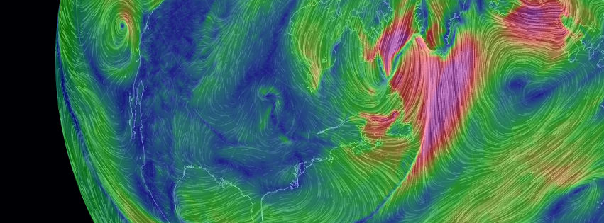
earth
a visualization of global weather conditions
forecast by supercomputers
updated every three hours
plus ocean waves, currents and temperature,
aerosols and air chemistry, aurora,
satellite imagery, earthquakes, fires and satellites
Based on |
earth by Cameron Beccario
MIT License
Modules |
Weather Data |
Global Forecast System
NCEP / National Weather Service / NOAA
Ocean Waves |
GFS-Wave (WAVEWATCH III)
NCEP / National Weather Service / NOAA
Ocean Currents Data |
OSCAR, Earth & Space Research
/ NASA PO.DAAC
Geostrophic currents, NOAA CoastWatch
Sea Surface Temperature |
OISST v2.1, NOAA NCEI
Aerosols & Chemistry |
GEOS-FP, NASA GMAO
Aurora |
OVATION, NOAA Space Weather Prediction Center
Satellite Imagery |
NASA GIBS (VIIRS, GOES, Himawari, Black Marble)
Events |
USGS earthquakes, NASA EONET, NASA FIRMS
Satellite Orbits |
GRIB/NetCDF Decoder |
Geographic Data |
Font |
Waterman Butterfly |
Inspiration |
atmospheric pressure corresponds roughly to altitude
several pressure layers are meteorologically interesting
they show data assuming the earth is completely smooth
note: 1 hectopascal (hPa) ≡ 1 millibar (mb)
1000 hPa |
00,~100 m, near sea level conditions
850 hPa |
0~1,500 m, planetary boundary, low
700 hPa |
0~3,500 m, planetary boundary, high
500 hPa |
0~5,000 m, vorticity
250 hPa |
~10,500 m, jet stream
70 hPa |
~17,500 m, stratosphere
10 hPa |
~26,500 m, even more stratosphere
the "Surface" layer represents conditions at ground or water level
this layer follows the contours of mountains, valleys, etc.
overlays show another dimension of data using color
some overlays are valid at a specific height
while others are valid for the entire thickness of the atmosphere
Wind |
wind speed at specified height
Temp |
temperature at specified height
TPW (Total Precipitable Water) |
total amount of water in a column of air
stretching from ground to space
TCW (Total Cloud Water) |
total amount of water in clouds
in a column of air from ground to space
MSLP (Mean Sea Level Pressure) |
air pressure reduced to sea level

weather and ocean data are generated from numerical models
this site implies no guarantee of accuracy